The Aquabike is for nearly all the marbles and the glory, but without the fun run after the bike. Swim with the Half athletes first, then enjoy a fast and furious bike. Then what? Enjoy a beer and watch the runners suffer. Seems like a fine day to me.
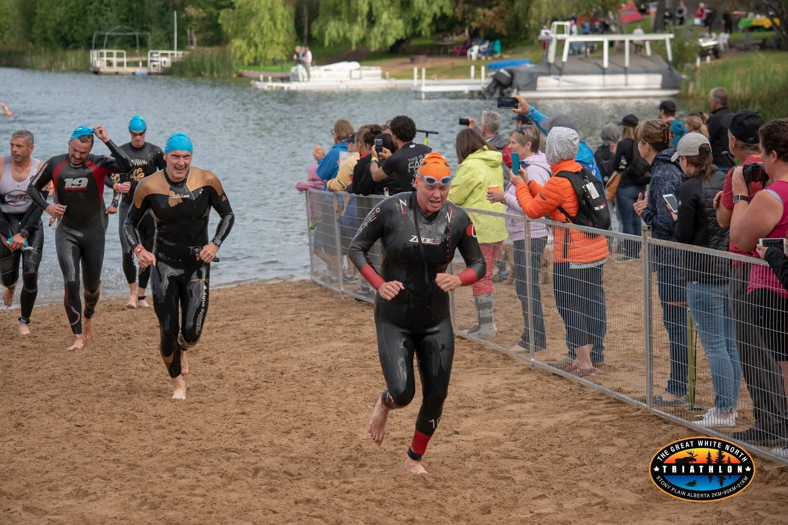
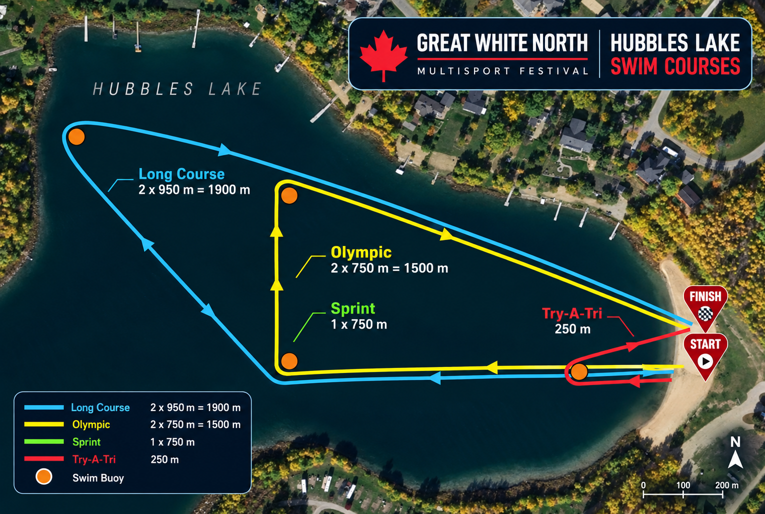
An open water 1.9km swim is held in Hubbles Lake. The swim for the half distance consists of two 950m loops, with an Australian exit. This means you exit the water and run around a cone, and then continue on to do the second swim lap.
Allan Beach features a large sandy area for the start and finish. We use a mass start so seed yourself appropriately. Review our beginners guide to open water swimming for tips n tricks!
This is a calm lake, the course is well marked and we will have a large contingent of lifeguards, scuba divers, and kayakers to ensure your safe completion of the first of three disciplines.
Volunteers will be on hand to aid in removing wetsuits in preparation for transition on to the bike.
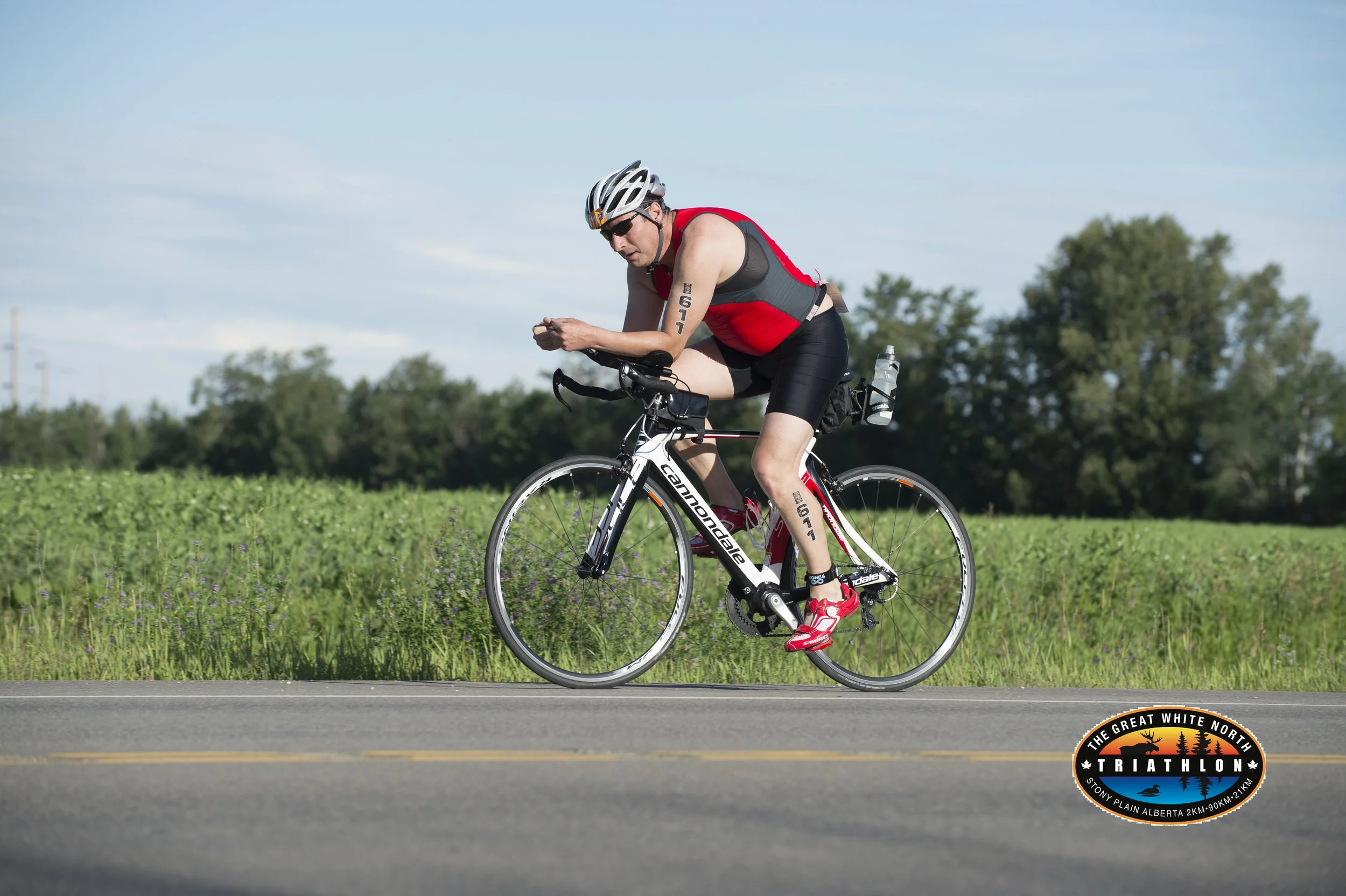
90km BIKE
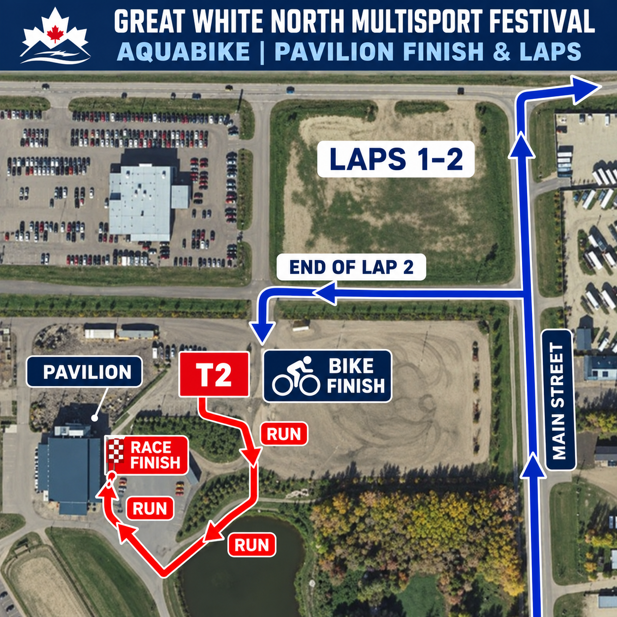
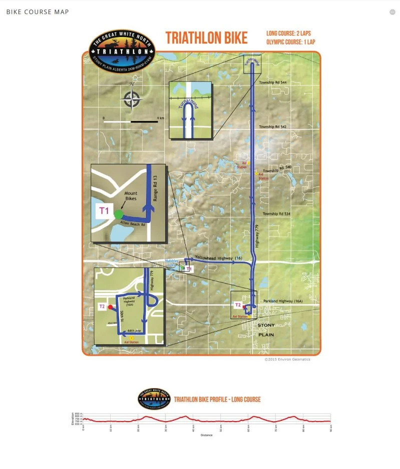
After you head out of Allan Beach Resort you turn right on Hwy 16 and head to Hwy 779 and turn south and head into Stony Plain. Turn right at 44th Ave, turn right at 50th St, head past the pavilion and right onto Parkland Hwy.
Take the overpass interchange onto Hwy 779 and head north to the turn around that is 19.5km out, head back to Stony Plain and repeat the out and back. Technical support will be provided on course but make sure you have the appropriate supplies in case of mechanical issues.
When you finish we will stop the clock when you enter the transition zone. Next, rack your bike, exit the transition zone and run through the finish line for a photo!